Access high-quality, regularly updated drone data to stay informed on the latest site situation.
Powered by Data and Platform
Ready-to-Use Data
All-in-One Platform
Why Drone Data Subscription?
Unlock Data Potential with Cutting-edge Platform
Subscribe and get accurate, up-to-date data insights through a cutting-edge drone data platform at your fingertips.
Deliverable-based Drone Service
Traditional deliverable-based drone services often limit long-term usability and obstruct the effective use of data for evolving projects.
Drone Data Subscription
The digital twin platform offers seamless data accessibility, unlocking powerful features that enhance real-world project management and decision-making.
Add Value in Every Aspect, Focus on What Really Matters
Cost-EfficientOptimize your budget while enhancing site management with the powerful platform
Time-SavingEnjoy seamless, 24/7 data accessibility with reduced lead times.
Optimal Data UsageEffortlessly harness the full potential of ready-to-use drone data
Use Cases
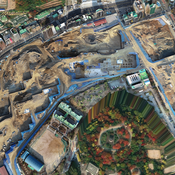
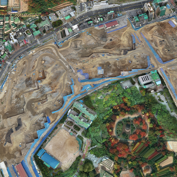
Drone mapping data and aerial photos are updated weekly on the Angelswing platform. You can easily view the 2D/3D models and aerial photos, enhancing site management with comprehensive insights.