
Quick disaster response and recovery begins
from promptly understanding the current status of the affected areas.
Detailed Use Cases

Glimpse disaster sites and respond quickly

Assess the level of damage and monitor the progress of recovery

Prepare the potential hazards such as landslides, ground subsidence, and more
Before

-
Hard to quickly determine the scope of damage for responding to a disaster
-
Difficult to establish a recovery plan with low-resolution satellite imageries
-
Difficult to identify the potential risks and aftermaths of the disaster
After
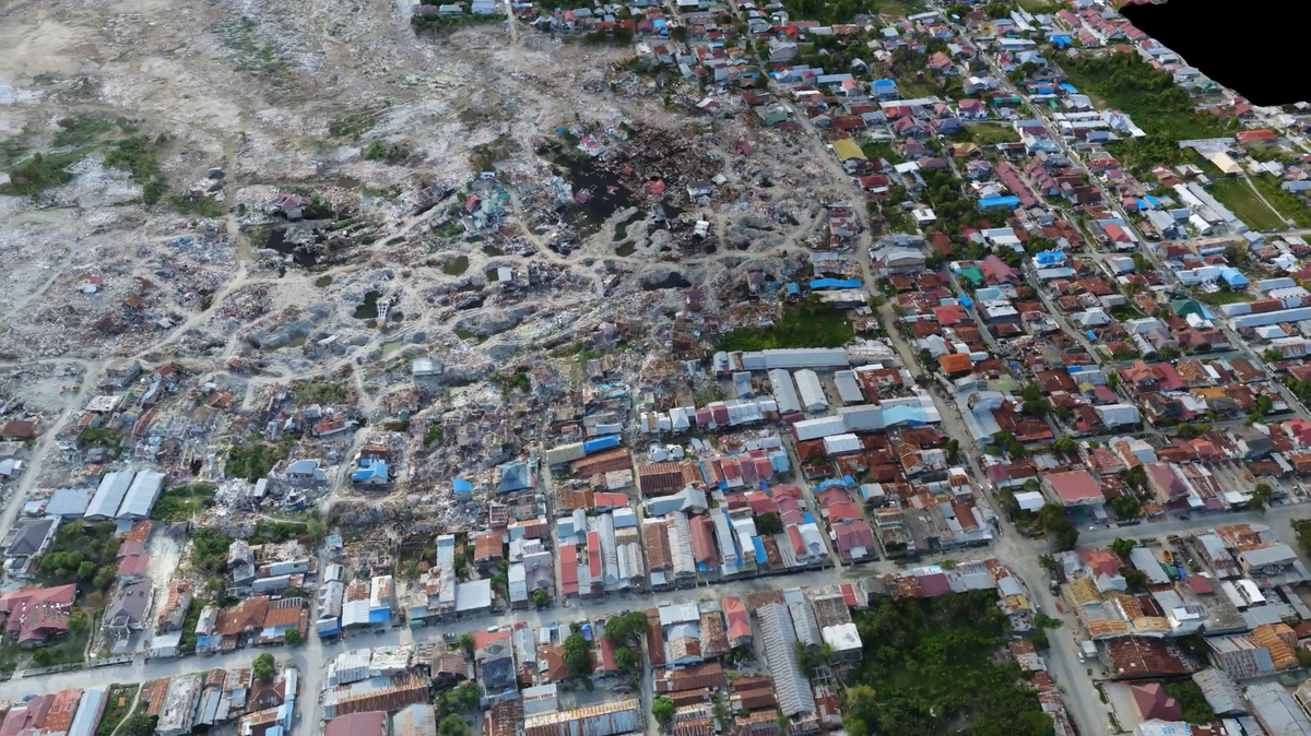
-
View the entire disaster scene at once and provide a quick response
-
Analyze the level of damage and establish a comprehensive recovery plan
-
Prepare for subsequent risks in advance