Most up-to-date on-site data is essential
in creating land compensation guidelines and
preparing evidence.
Detailed Use Cases

Accurately calculate land compensation amounts

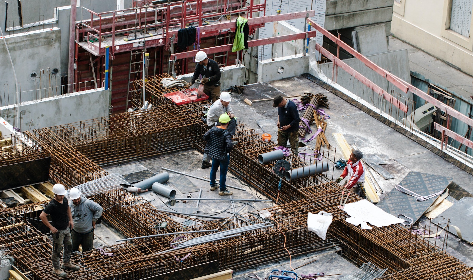
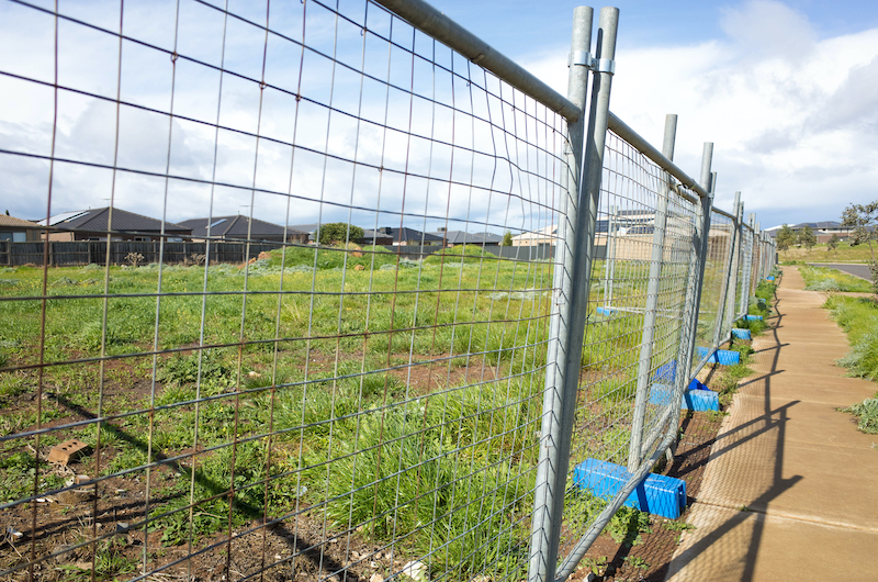
Prevent and monitor illegal building extensions

Create evidence materials for compensation complaints
Before
-
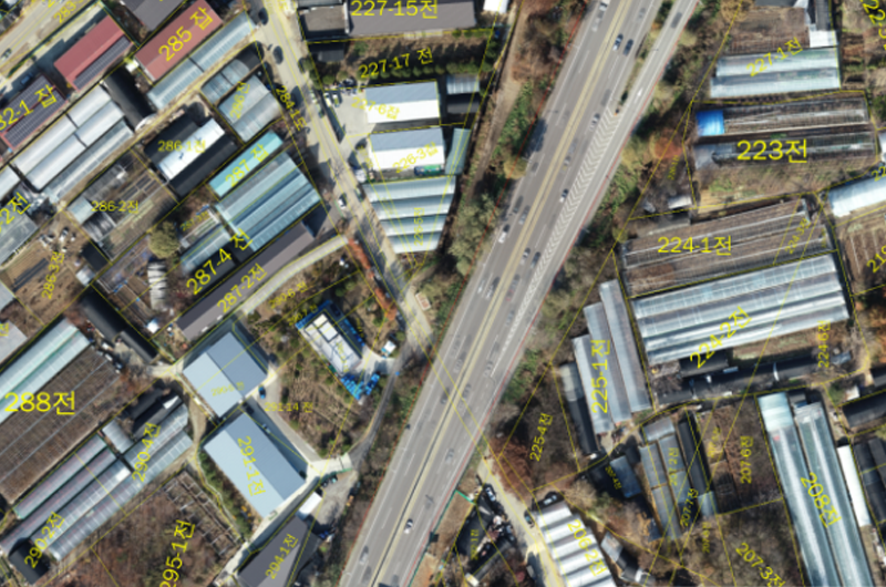
Identifying and quantifying the exact region for compensation is difficult due to slow update of satellite imageries
-
Impossible to respond quickly to illegal building extension
After
-
Analyze job site with high resolution images and models to determine the precise compensation region
-
Transparent management by acquiring on-site data before and after the notification of compensation plan